
by Tammy Zebruck | Apr 23, 2024
Join us at the Lake of the Woods Museum as we welcome Grand Council Treaty #3 and their Territorial Planning Unit on May 28th at 7 pm for a session on Manito Aki Inaakonigewin (Great Earth Law).

by Tammy Zebruck | Apr 23, 2024
Jessie Richard, of Kay-Nah-Chi-Wah-Nung Historical Centre speaks about the dark history of archaeology, the importance of repatriation and what that process looks like for some.

by Shelby Smith | Feb 7, 2024
Stretching across parts of Ontario, Manitoba, and Minnesota, the Lake of the Woods and Rainy Lake basin spans boundaries and jurisdictions. Levelling the Lake explores a century and a half of social, economic, and legal arrangements through which the resources and environment of the Lake of the Woods and Rainy Lake watershed have been both harnessed and harmed.
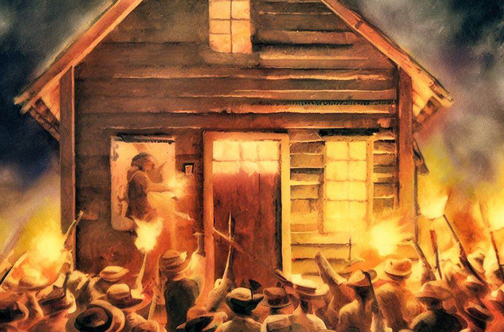
by Tammy Zebruck | Jun 17, 2023
Join us at the Douglas Family Art Centre every Tuesday in July and August for our compelling series of speakers.
by Tammy Zebruck | Jun 14, 2023
Join us at the Douglas Family Art Centre every Tuesday in July and August for our compelling series of speakers.
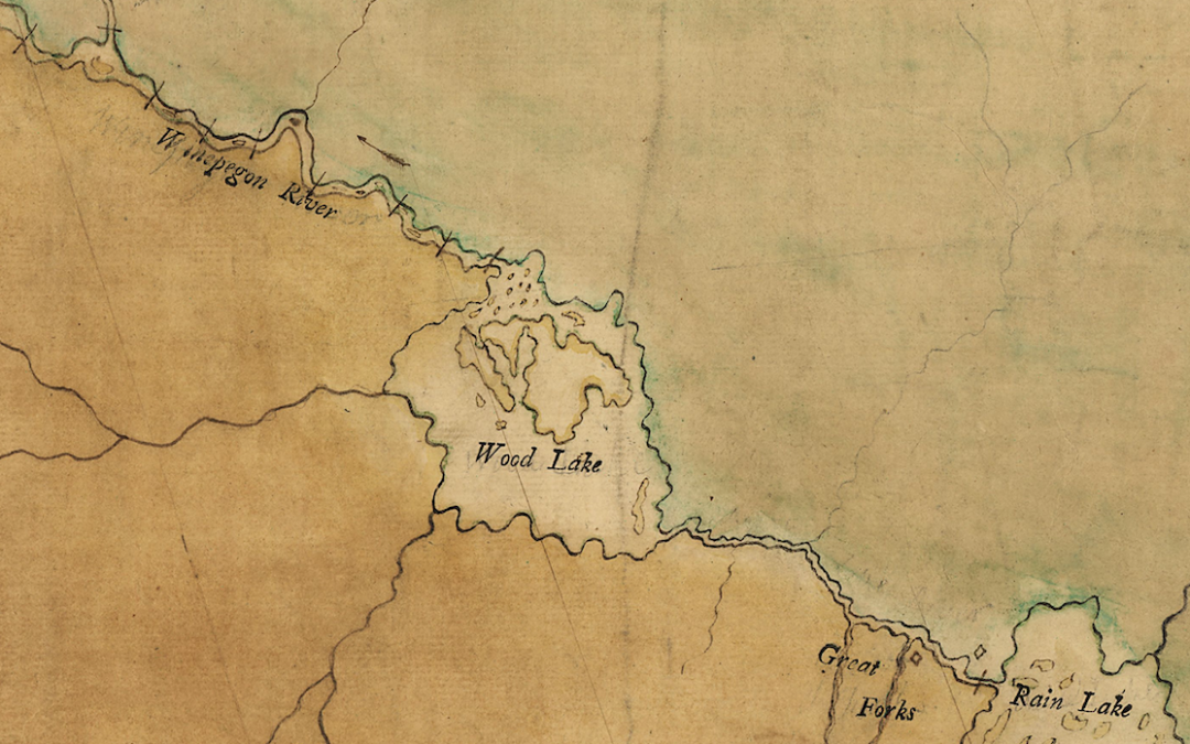
by Tammy Zebruck | Jun 14, 2023
Join us at the Douglas Family Art Centre every Tuesday in July and August for our compelling series of speakers.
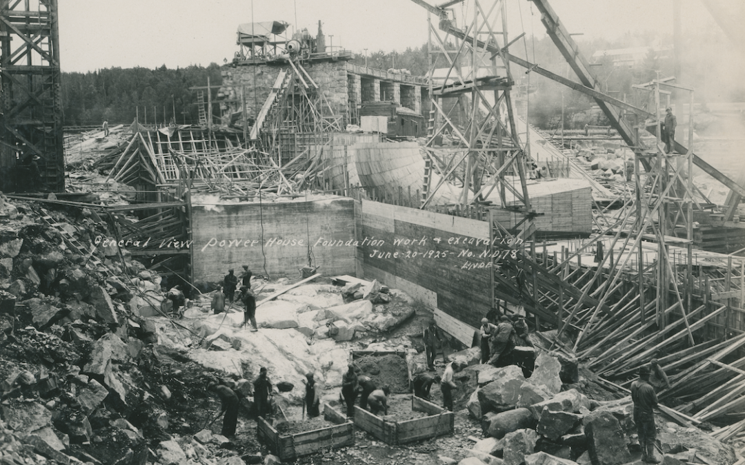
by Tammy Zebruck | Jun 14, 2023
Join us at the Douglas Family Art Centre every Tuesday in July and August for our compelling series of speakers.
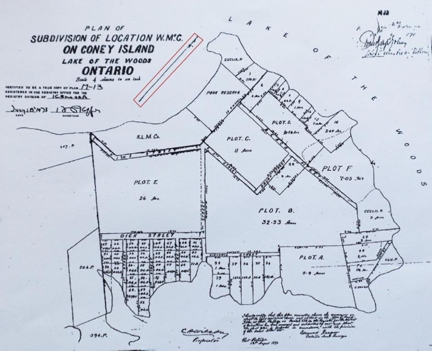
by Tammy Zebruck | Jun 14, 2023
Join us at the Douglas Family Art Centre every Tuesday in July and August for our compelling series of speakers.

by Tammy Zebruck | Jun 13, 2023
Join us at the Douglas Family Art Centre every Tuesday in July and August for our compelling series of speakers.
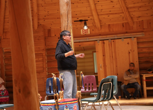
by Tammy Zebruck | Jun 13, 2023
Join us at the Douglas Family Art Centre every Tuesday in July and August for our compelling series of speakers.
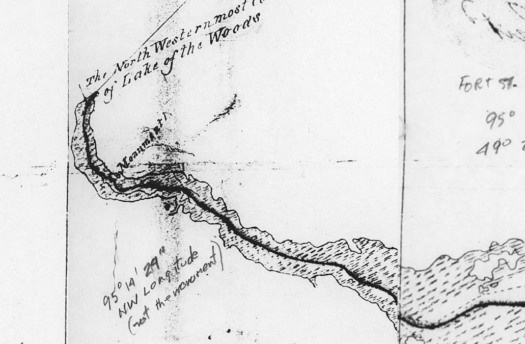
by Shelby Smith | Jul 30, 2022
Join us on Thursday, August 11th for the real story about how the border on Lake of the Woods came to be with guest speaker David Malaher.

by Shelby Smith | Apr 19, 2022
Join local artist, Melissa Jean, for this Meet the Artist Reception for the exhibition Power of Place: Melissa Jean & Walter J. Phillips.
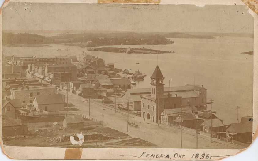
by Tammy Zebruck | Apr 6, 2022
Learn some easy conservation hacks from Museum Educator Braden Murray to help you preserve important family photographs, documents, and textiles.
by Tammy Zebruck | Jan 28, 2022
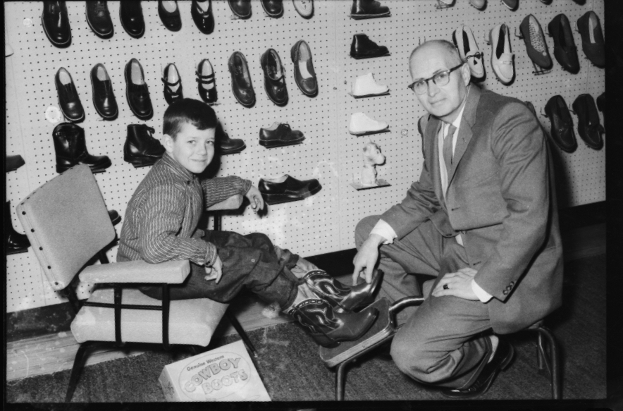
Peruse through the Museum’s collection of photos of local stores and businesses from 1960s-1980s and tell us the stories.
by Tammy Zebruck | Jan 28, 2022
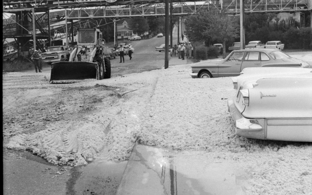
Join us for coffee and conversation as we welcome you to view and assist us in identifying photographs of Kenora’s pulp and paper mill, 1960s-1980s.
by Tammy Zebruck | Jan 27, 2022
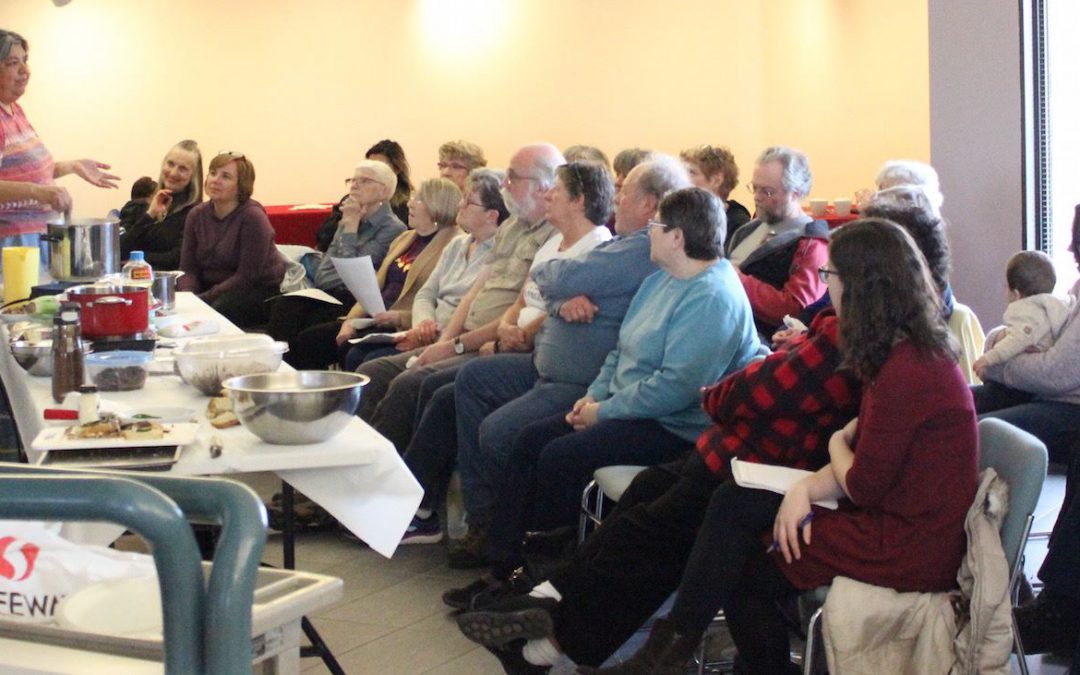
Enjoy a culinary experience with Theresa Jamieson (aka The Bannock Lady) who will be presenting a cooking demonstration of traditional Anishinaabe foods. Come hungry!
by Tammy Zebruck | Jan 27, 2022
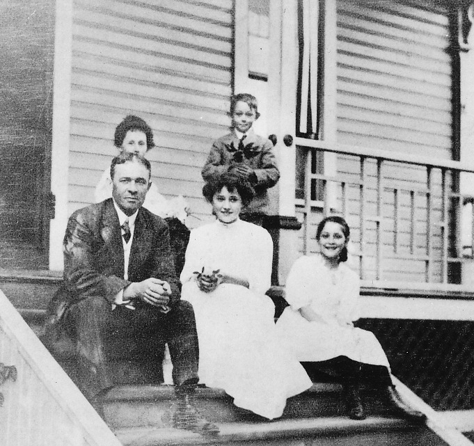
Join local Ancestor Seekers of Kenora member Gloria Harvey as she gives a broad brush overview of the who, what, where, and why of genealogical research and how to start your family tree.
by Tammy Zebruck | Jan 27, 2022
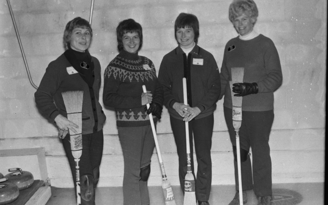
Browse through the Museum’s collection of winter sports photographs from the 1960s-1980s and share your knowledge with Museum staff.
by Tammy Zebruck | Jan 26, 2022
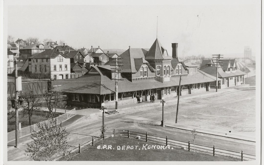
Take a guided tour of this exhibit which features over 70 Kenora/Keewatin images with Museum Educator Braden Murray.
by Shelby Smith | Jun 12, 2021 | Lake of the Woods
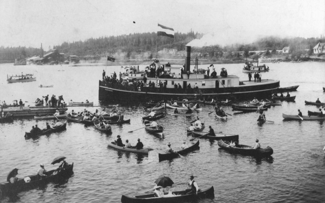
This is the story of when 5,000 people, over 10% of the population of Winnipeg at the time, made Rat Portage their destination for a day at the lake.
by Shelby Smith | Jun 11, 2021 | Lake of the Woods
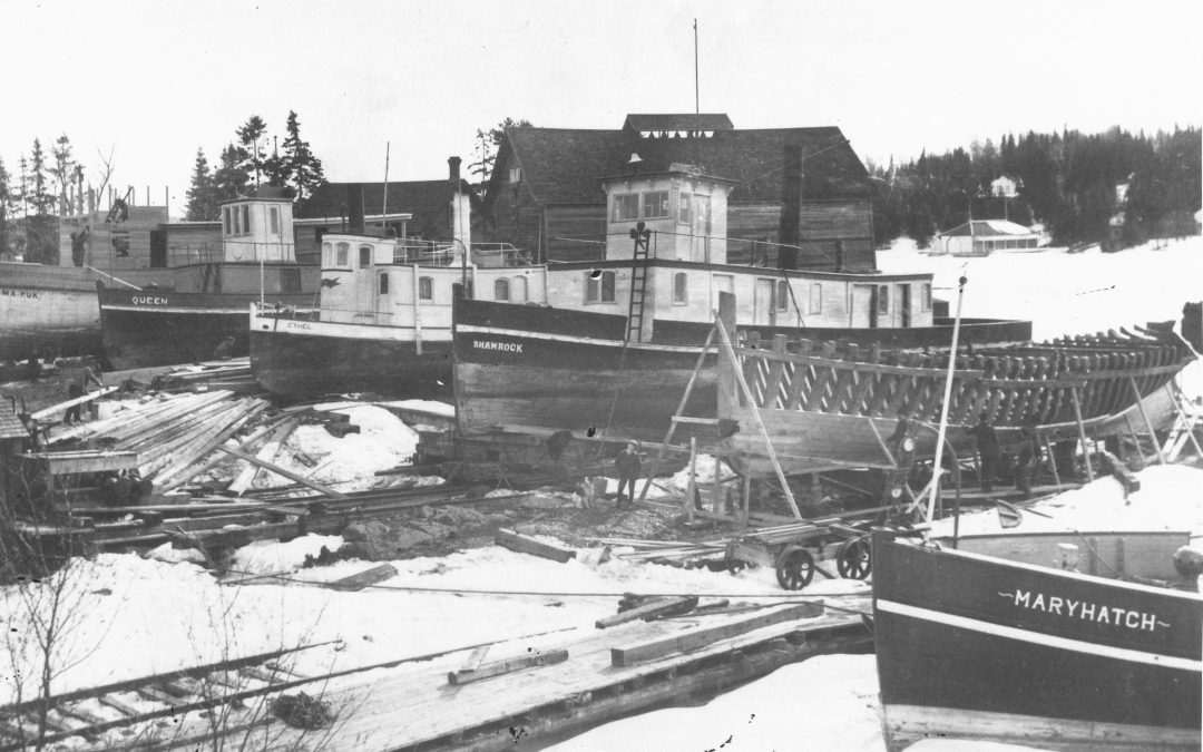
The spring break-up of ice on Lake of the Woods has long been closely followed by residents. Besides the necessity of the opening of the lake for transportation and communication purposes, there naturally developed a competition to be the first boat to navigate through the ice floes in the early spring.
by Shelby Smith | Jun 11, 2021 | Lake of the Woods
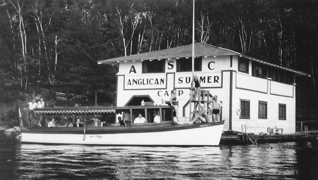
Anglican Summer Camp Island is located south of Crowe Island at the mouth of Keewatin Channel on Lake of the Woods.
by Shelby Smith | Jun 11, 2021 | Lake of the Woods
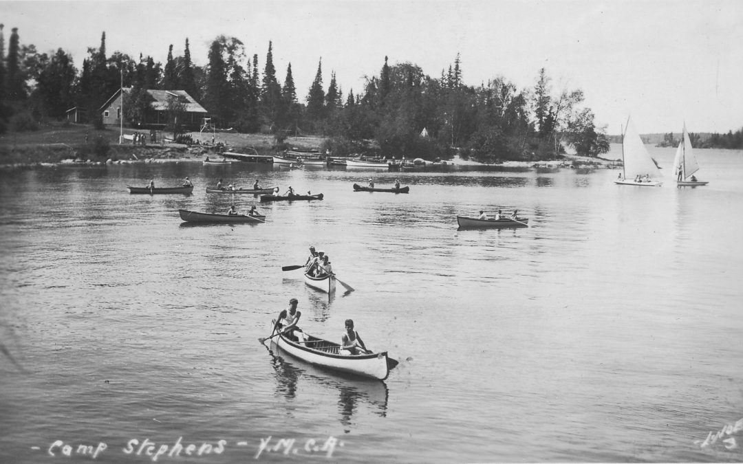
2016 marks the 125th anniversary of Camp Stephens, a Lake of the Woods summer camp for youth and families operated by the YMCA/YWCA.
by kelsey_baker | Jun 13, 2019 | Lake of the Woods
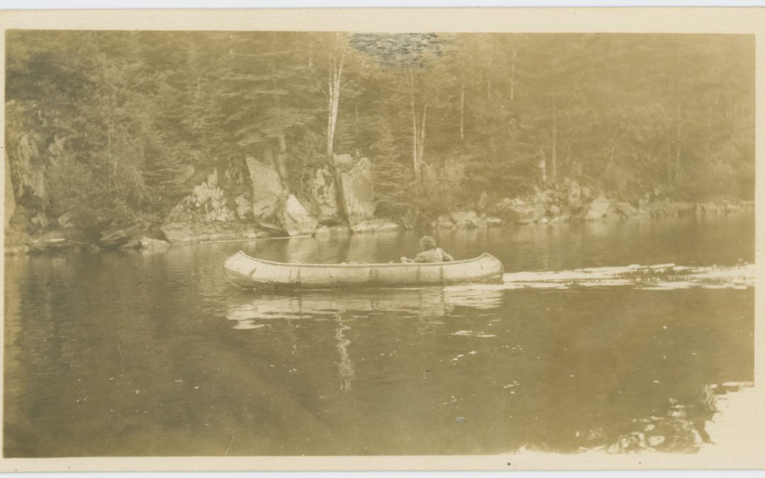
Tales of Massacre Island have been passed on through oral story-telling, but the facts became skewed. So where is the real Massacre Island?


